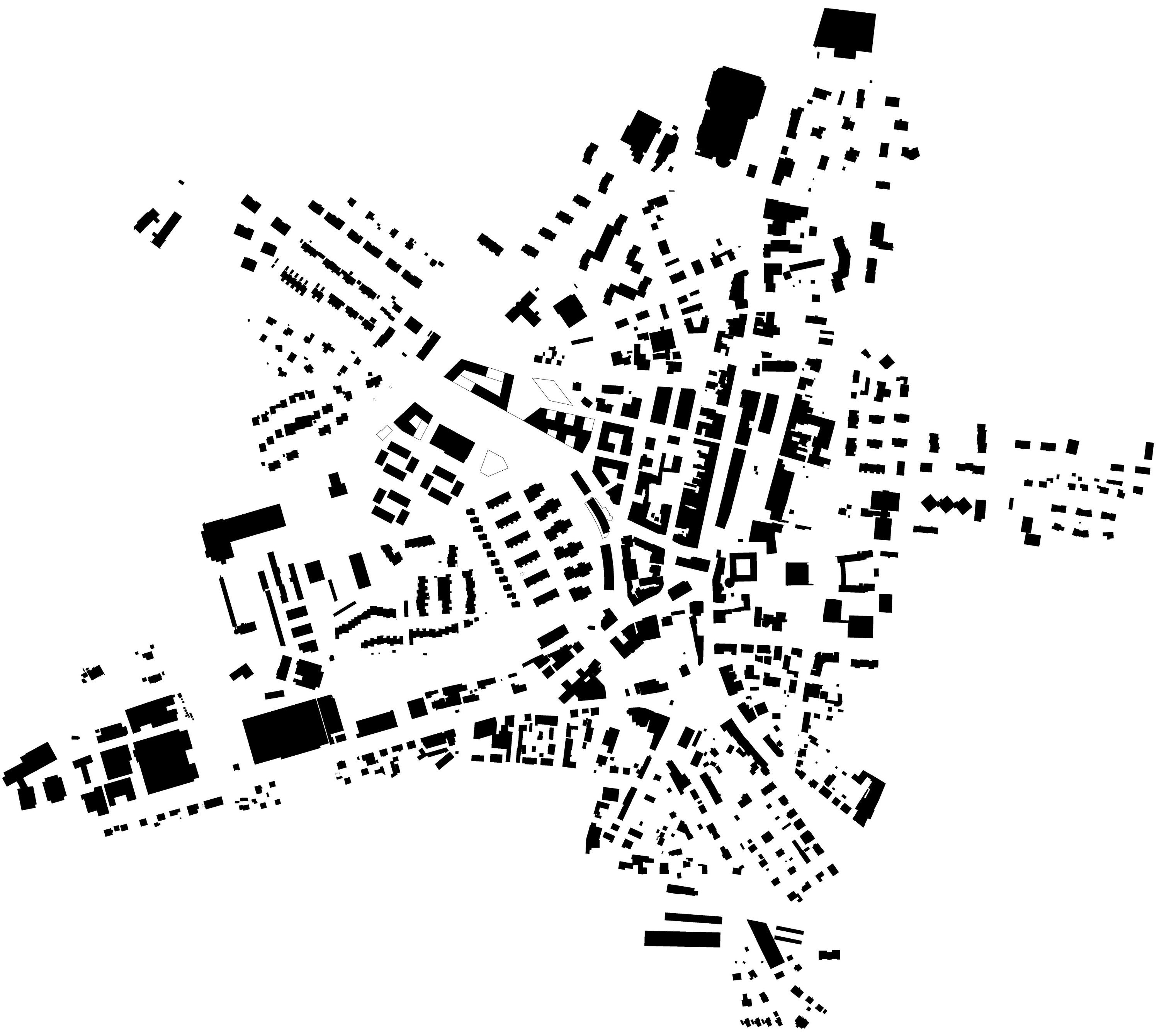
Estavayer-le-Lac railway station area
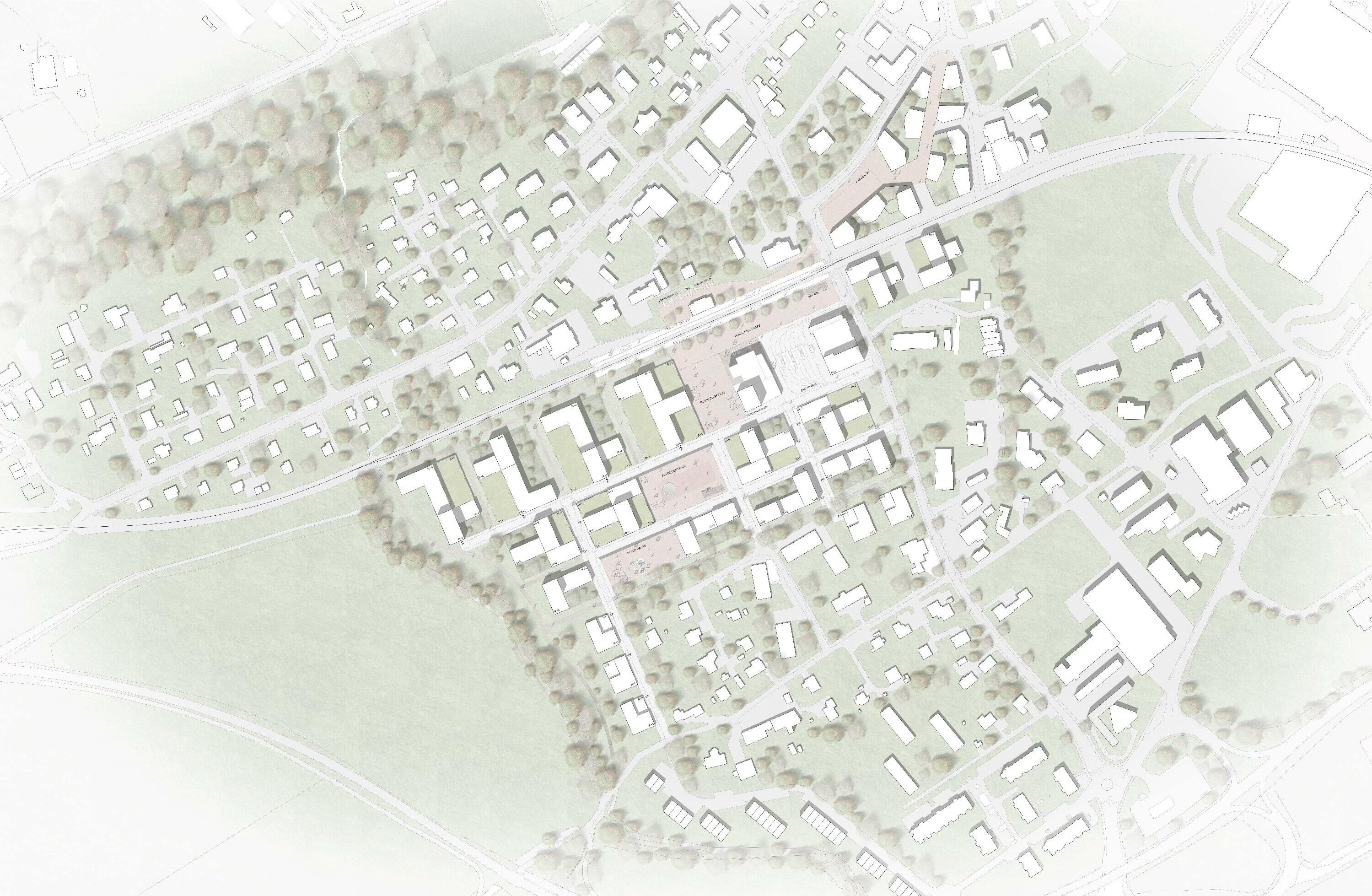
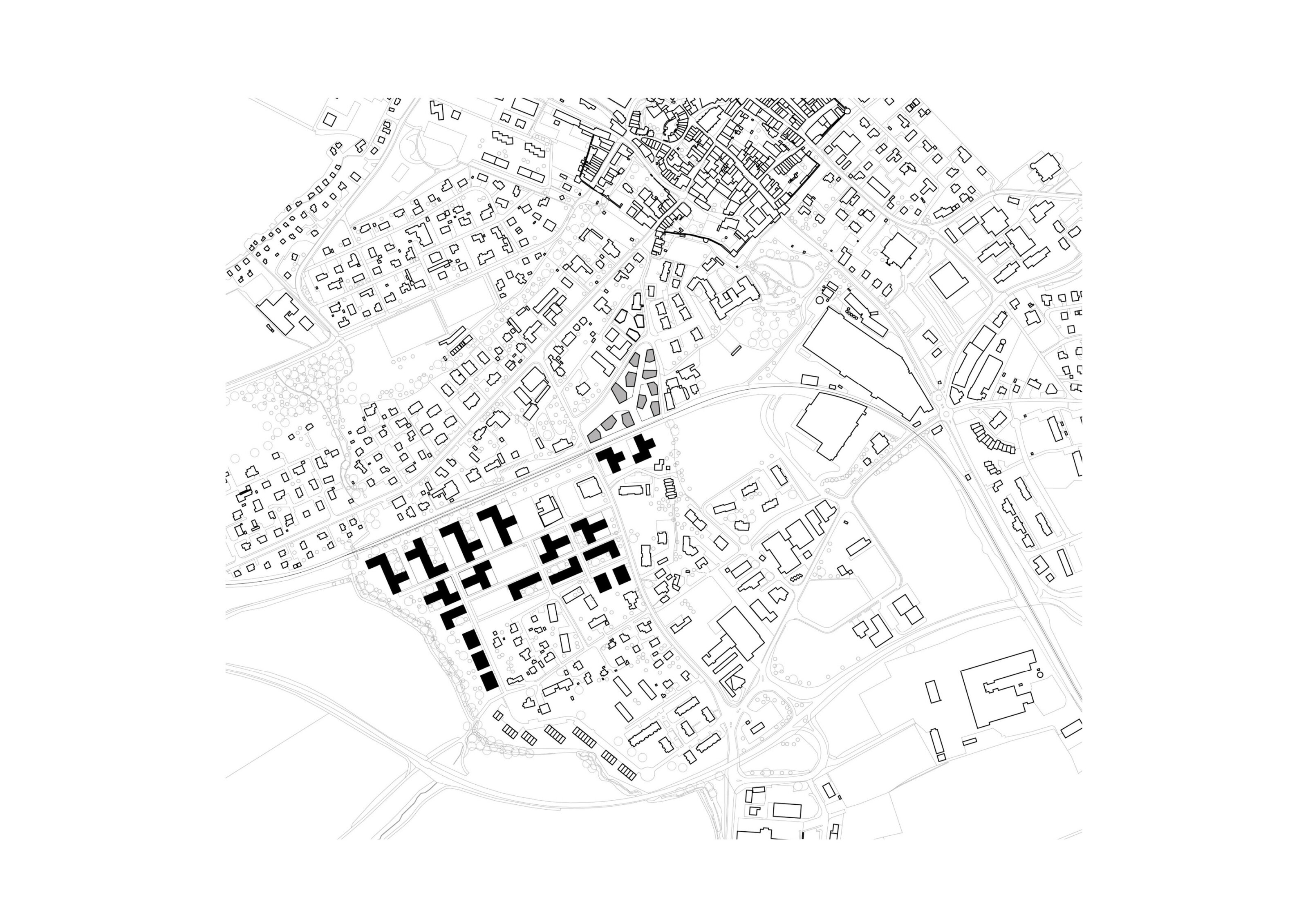
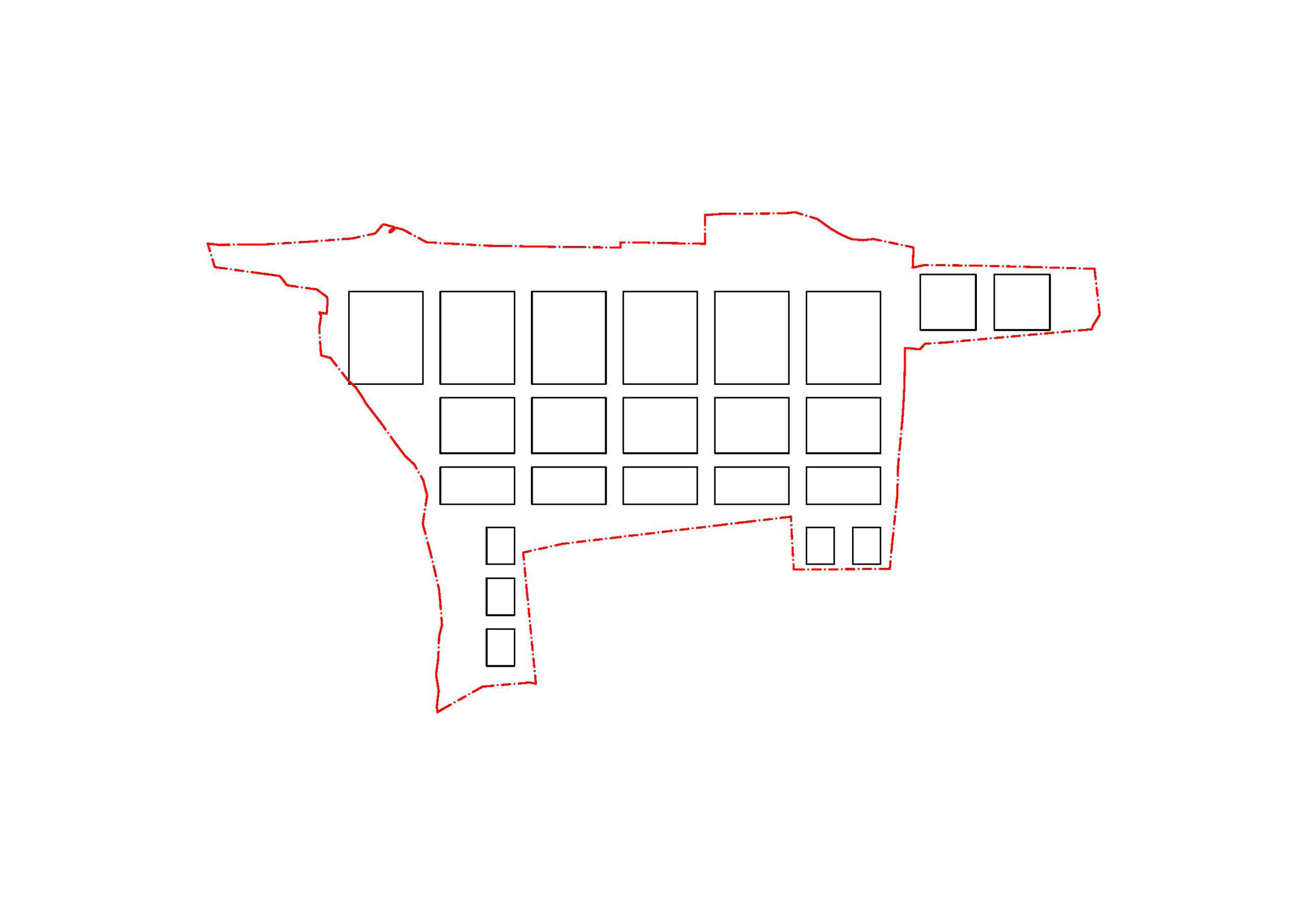
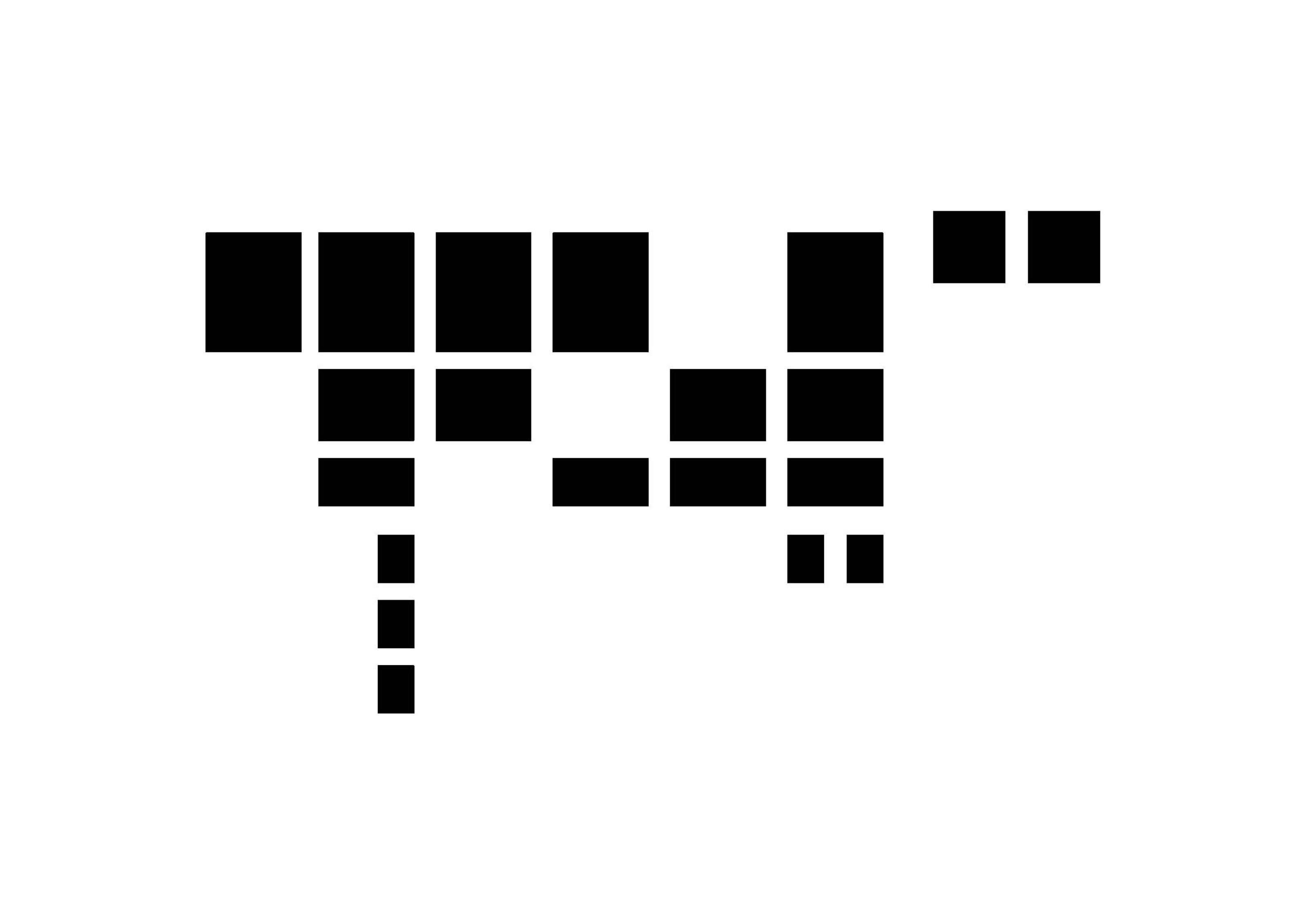
The search for a specific urban morphology stems from the observation of the aggregation of industrial and agricultural building forms historically present on the site. The development plots are occupied by several building clusters arranged like cloverleaves. This assemblage is composed of varying heights, allowing the project to take advantage of the site’s qualities: views toward Lake Neuchâtel and the old town as well as the Bernese Alps. The mobility network is structured around a large loop serving both the new neighborhood and the southern residential fabric, complemented by a soft-mobility network connecting public spaces to the wooded belt.
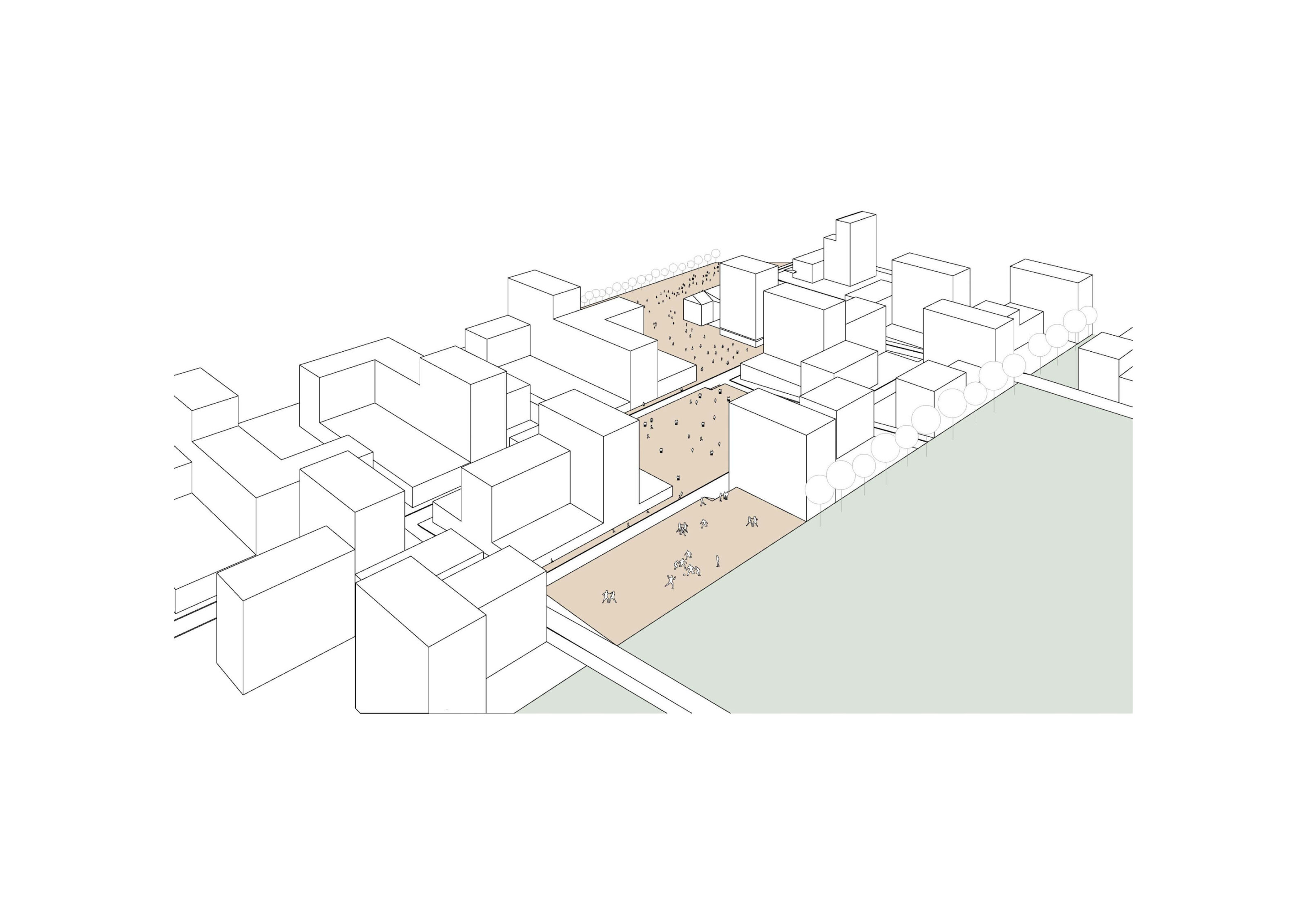
The creation of a new piece of city was the project’s starting point. The requalification of the station plateau led to a long-term urbanization proposal. A rigorous subdivision into distinct development areas was established across the site. Building heights vary according to location: larger volumes are positioned along the railway lines, while smaller ones face the surrounding low-density fabric. The hollowing out of certain volumes generates a sequence of public spaces linking the wooded belt to the city center, producing four major civic areas: the station square by the railway, the mill square animated by shops and offices, the central square serving neighborhood residents, and the upper square with a primarily recreational function.
INFOS
Bulle railway station area
